For returns, please contact info@kokiriyama.com within 7 days of receiving your order. See our full Return Policy for details.
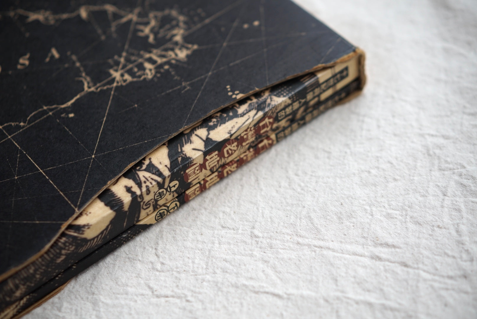
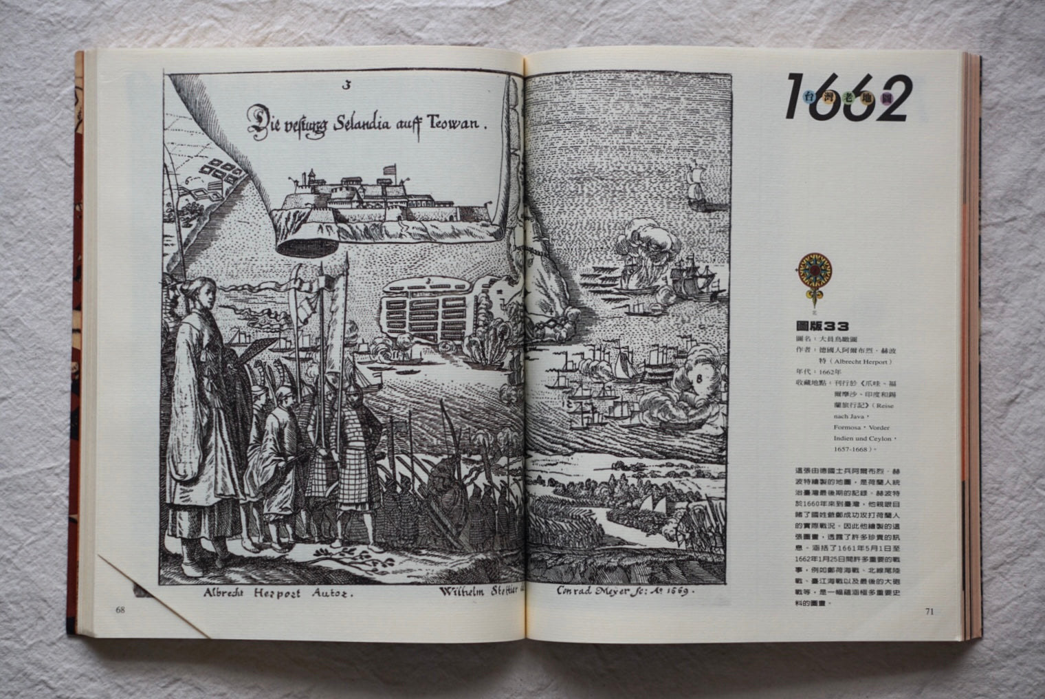
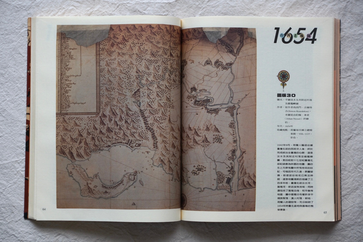
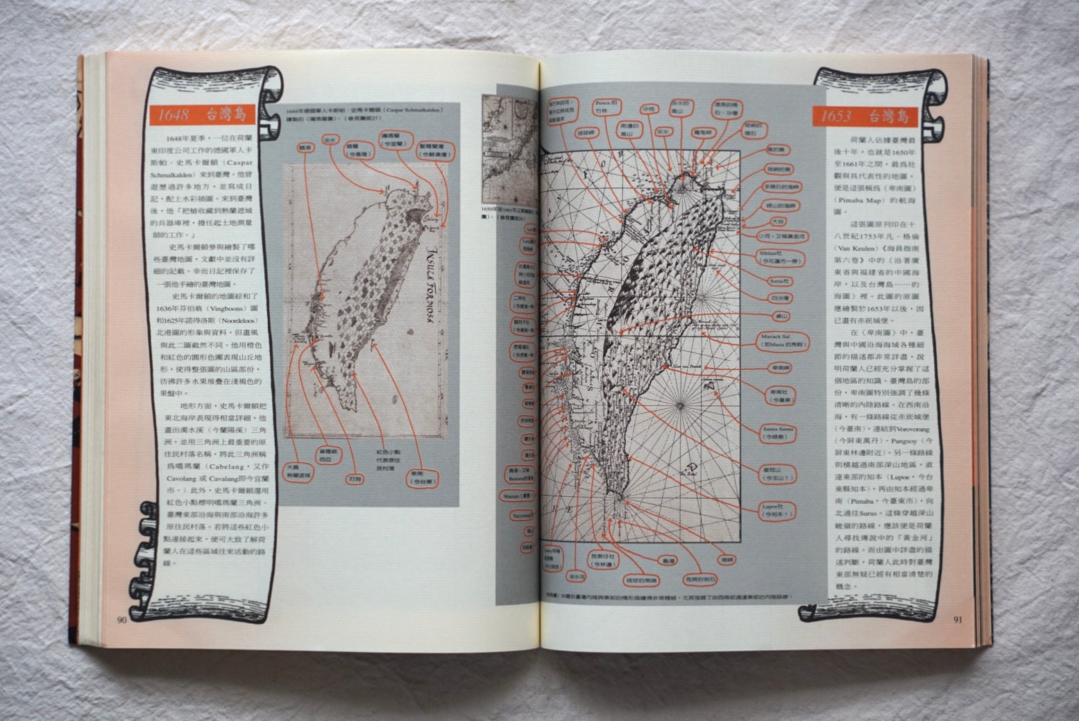
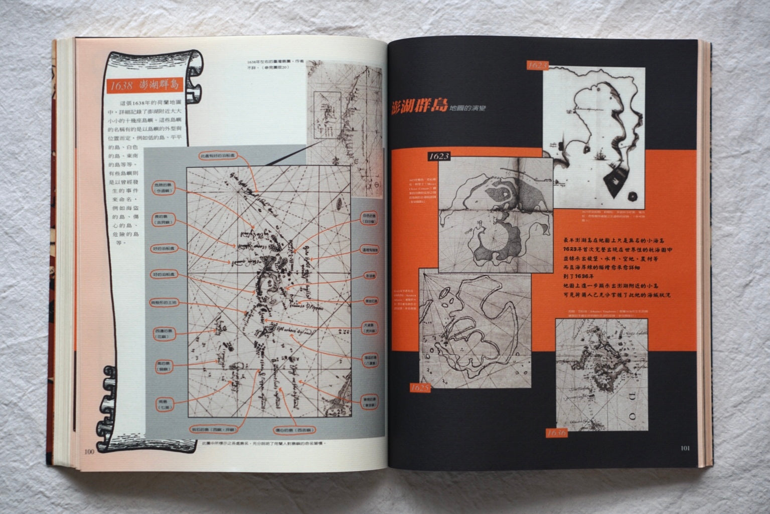
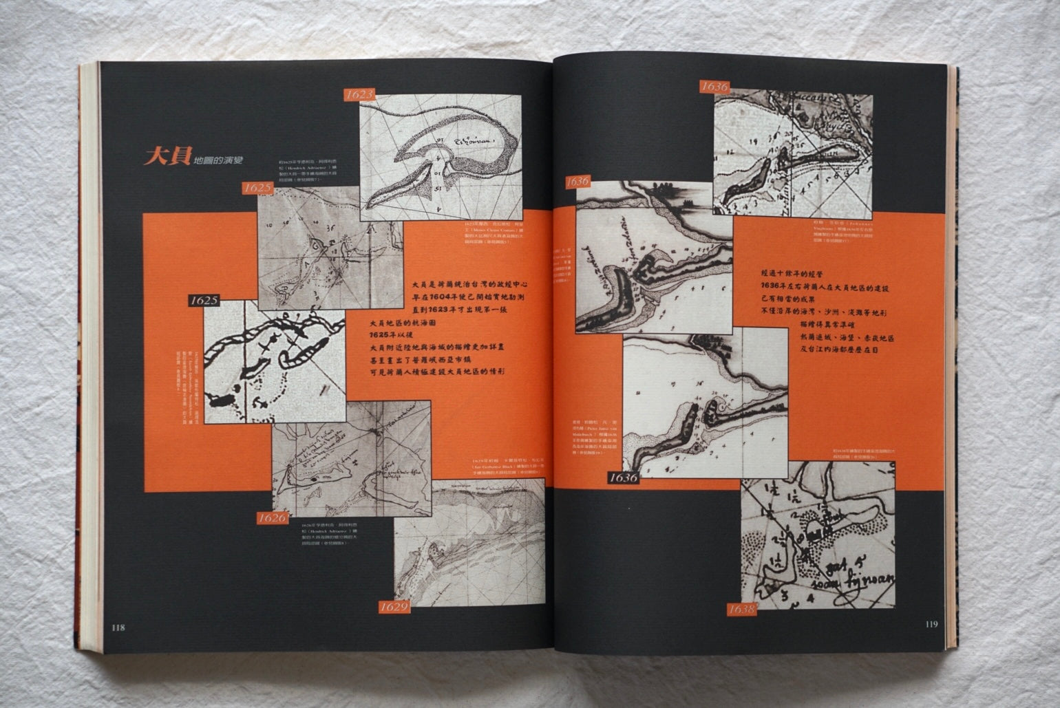
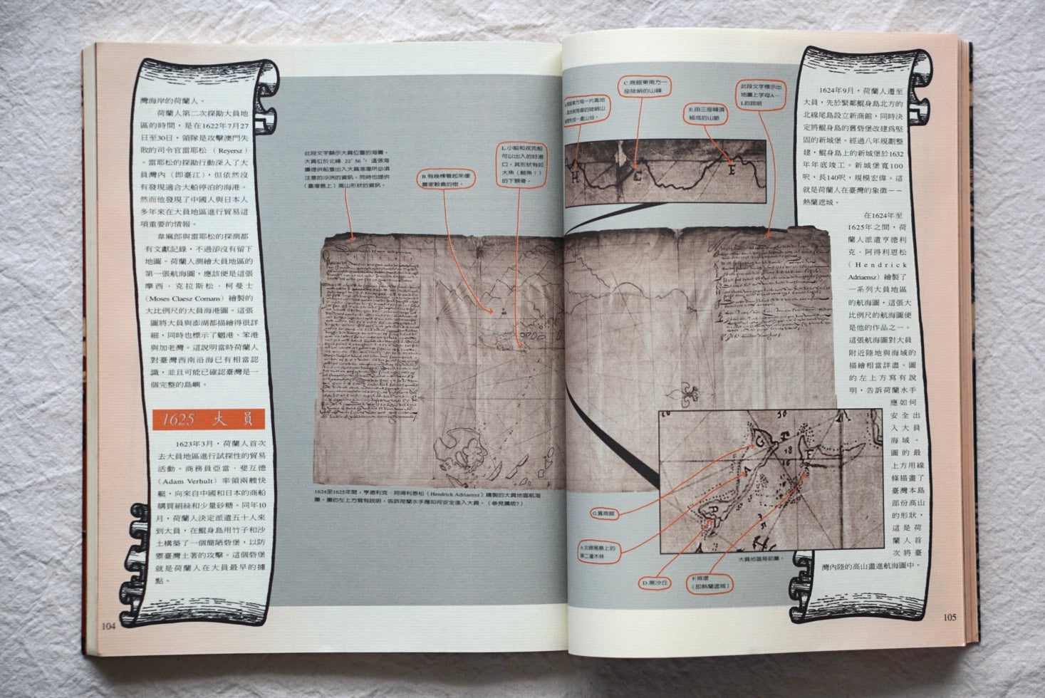
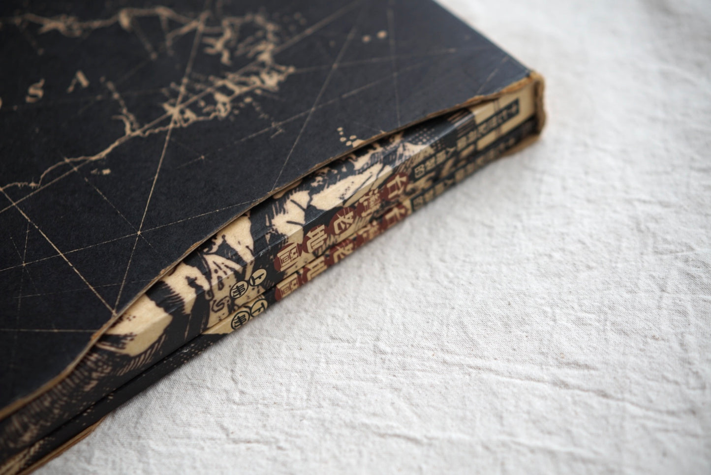
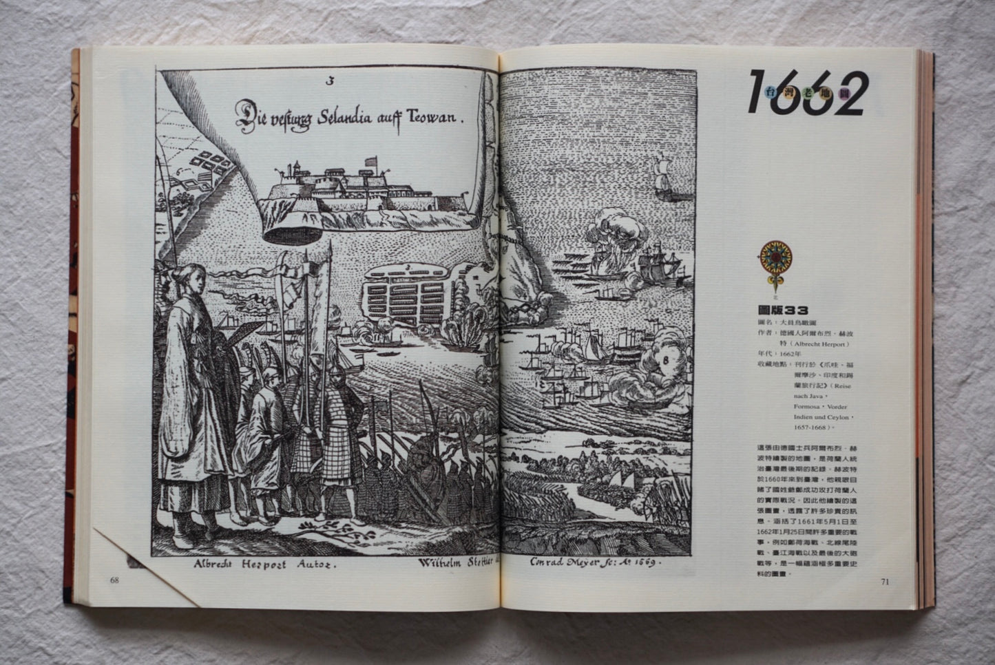
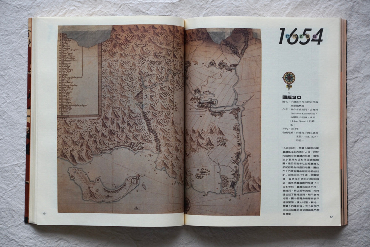
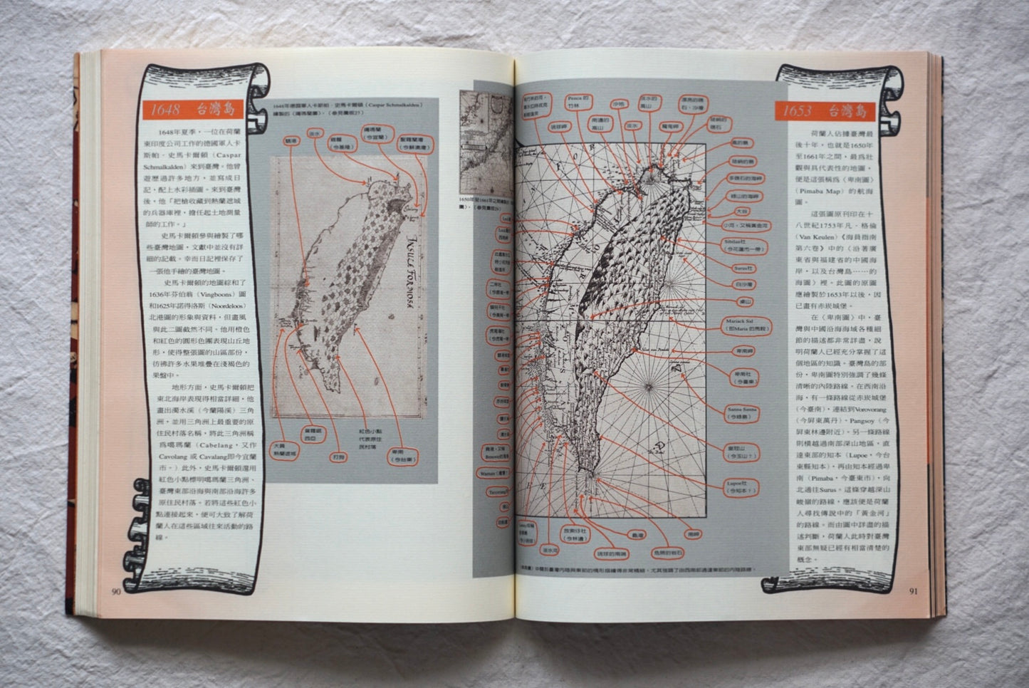
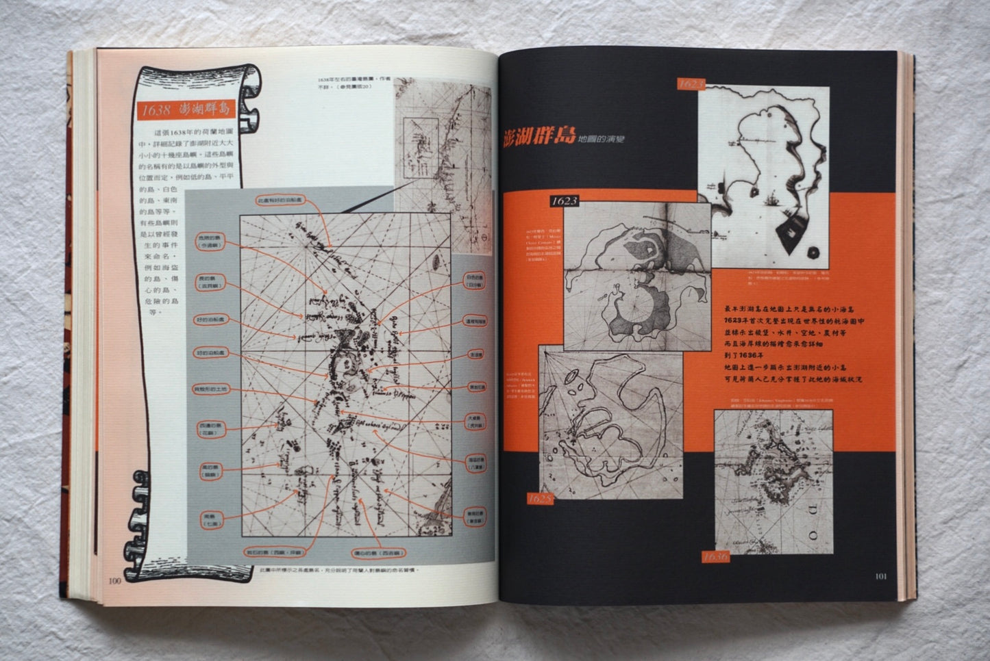
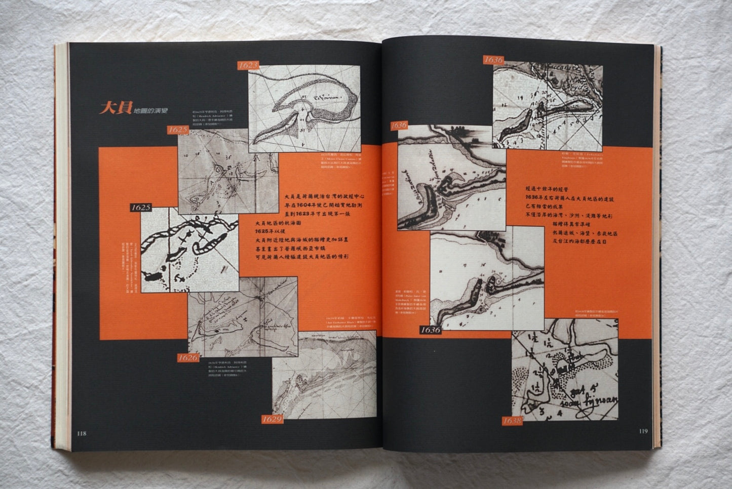
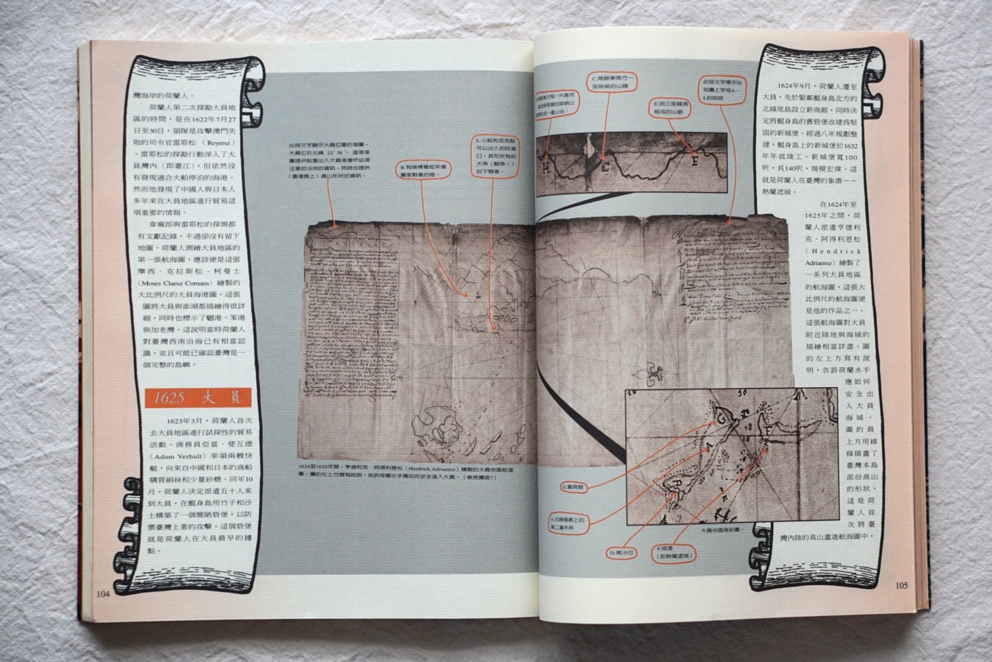
This two-volume book, published by Hanseon Magazine in 1997, contains valuable maps created by the Dutch, who ruled Taiwan in the 17th century. These maps provide detailed descriptions of Taiwan's geography, urban structure, and coastal areas at the time, and are accompanied by commentary on the historical background. They provide a valuable resource for understanding Taiwan's geographical environment and social situation in the 17th century, and are a valuable reference for readers interested in Taiwanese history and cartography during the Dutch colonial period.