小霧山 kokiriyama
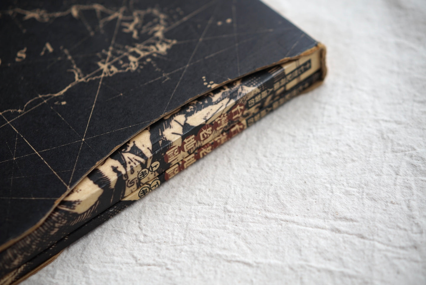
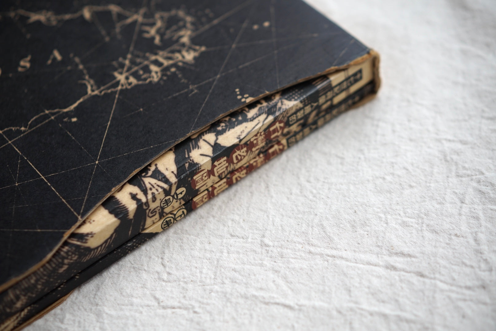
Old Maps of Taiwan Drawn by the Dutch in the 17th Century, 2 Volumes
Old Maps of Taiwan Drawn by the Dutch in the 17th Century, 2 Volumes
- 古書
状態 古本 良品 B
Regular price
¥22,000 JPY
Regular price
Sale price
¥22,000 JPY
Taxes included.
Shipping calculated at checkout.
Sign up for our email newsletter and get a 10% OFF coupon!
Return Policy
Return Policy
For returns, please contact info@kokiriyama.com within 7 days of receiving your order.
See our full Return Policy for details.
Quantity
Couldn't load pickup availability
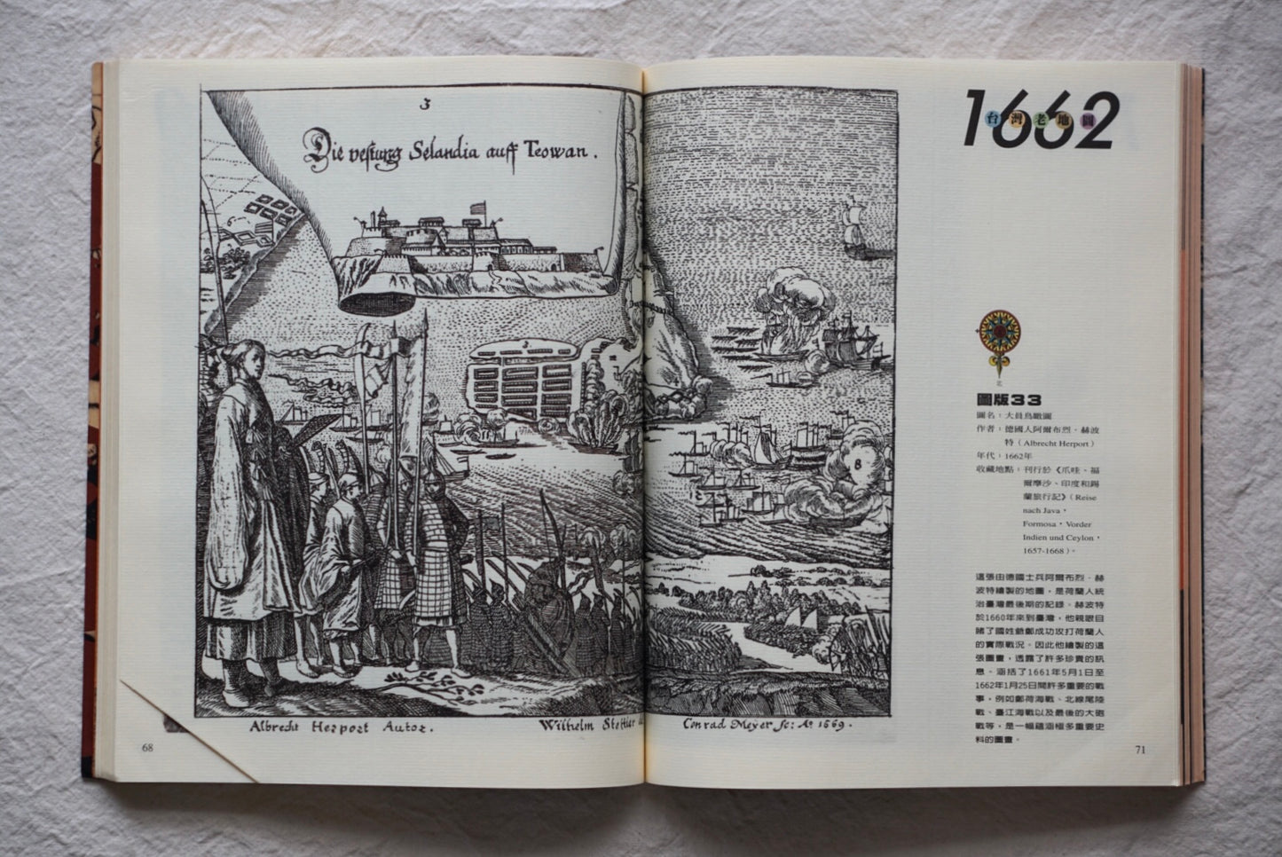
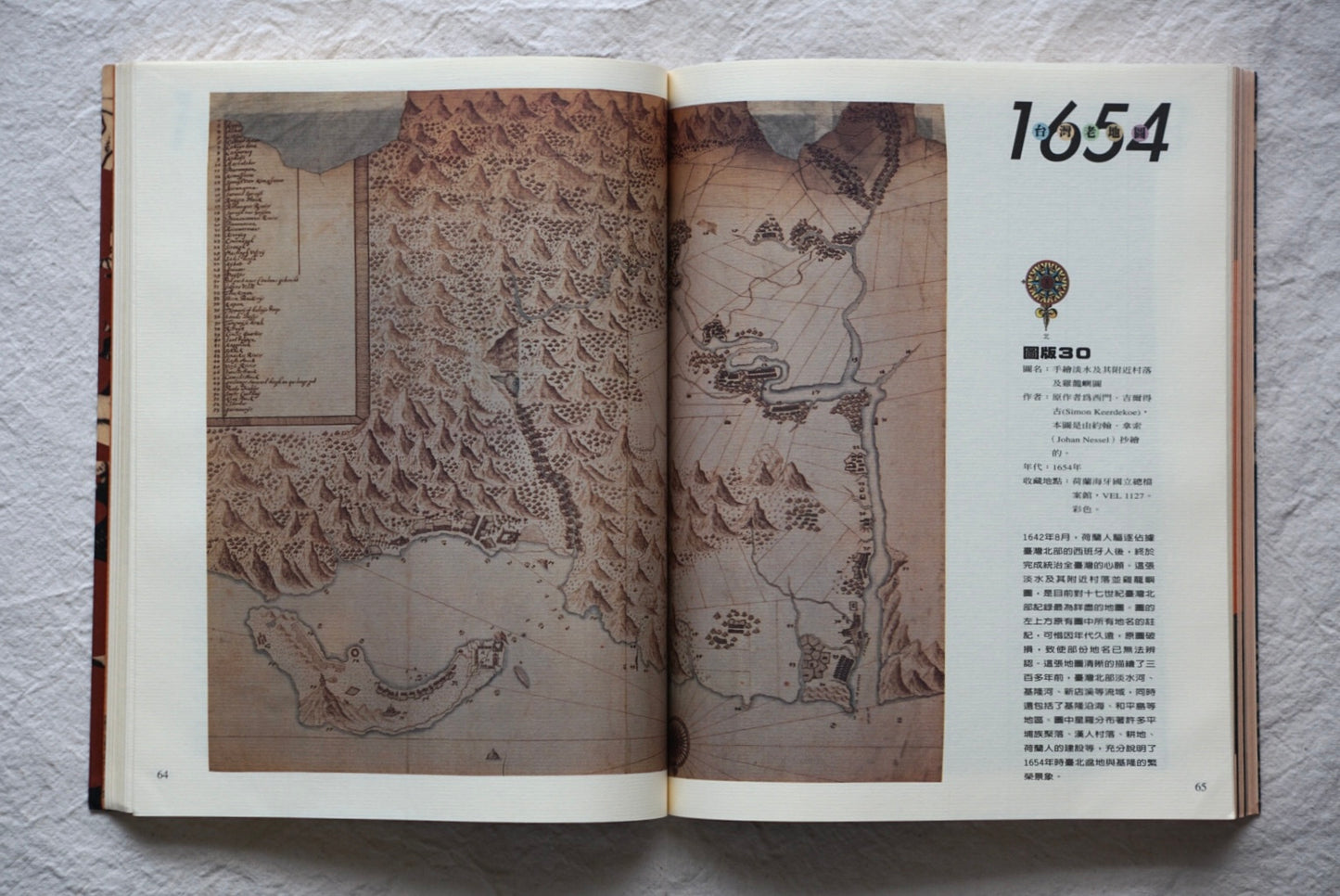
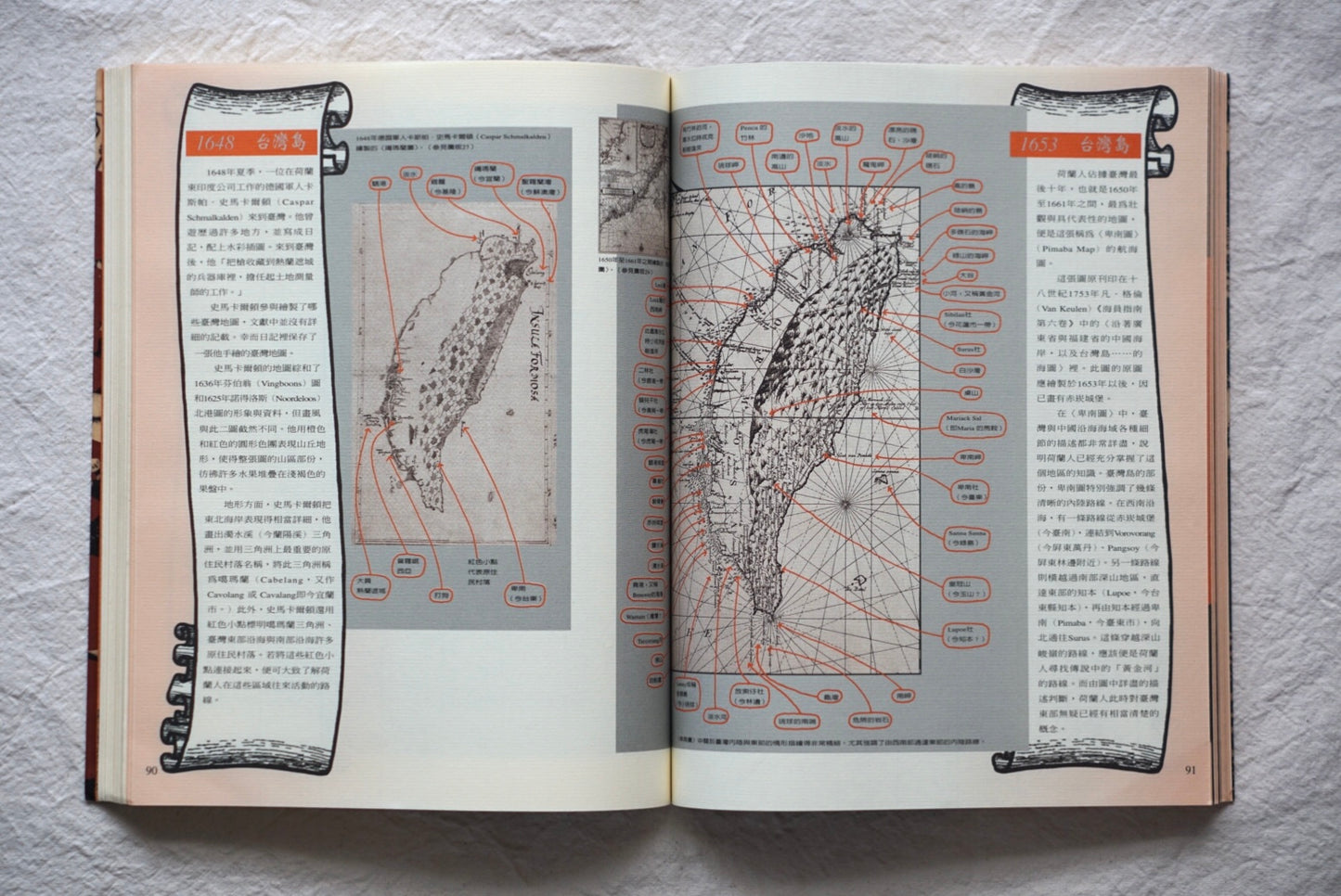
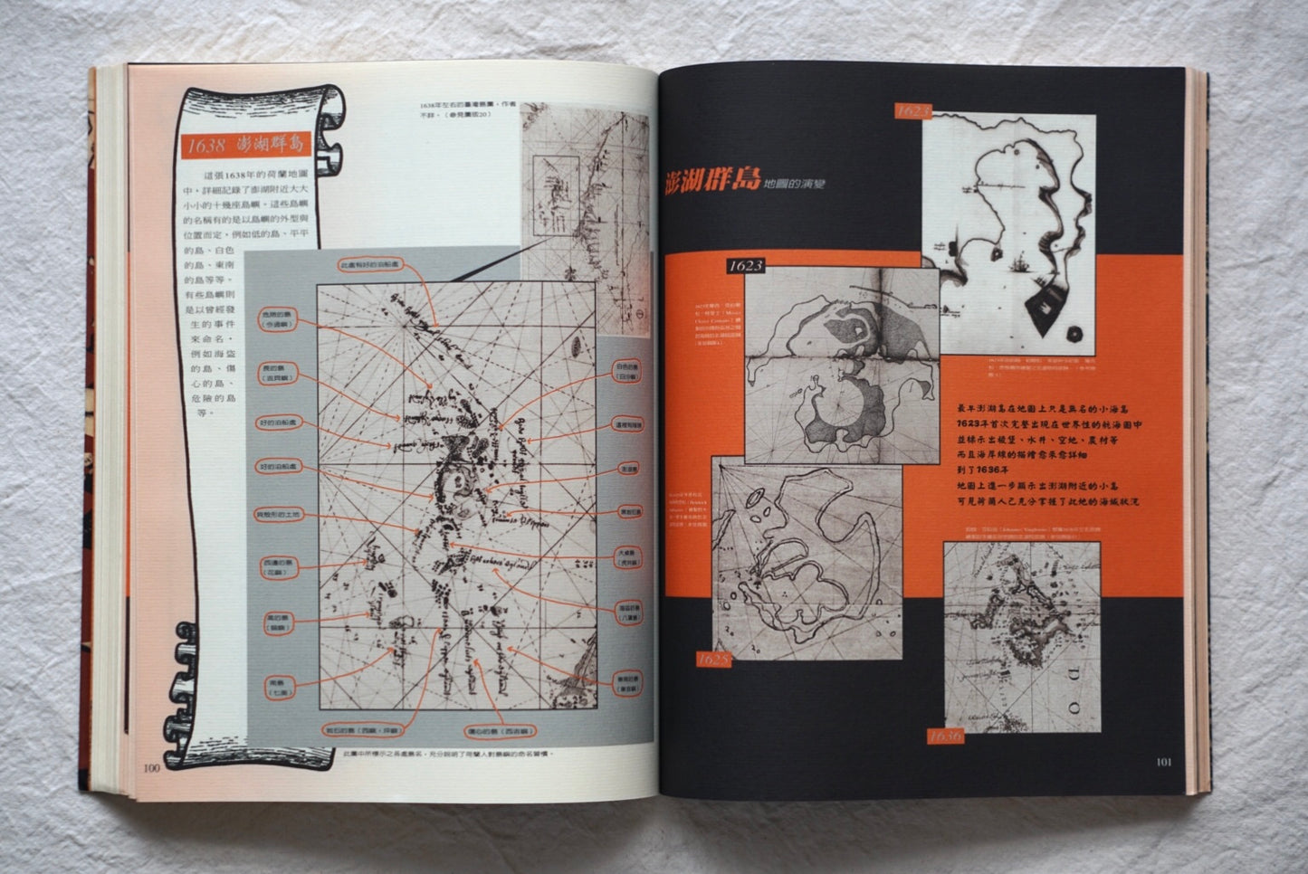
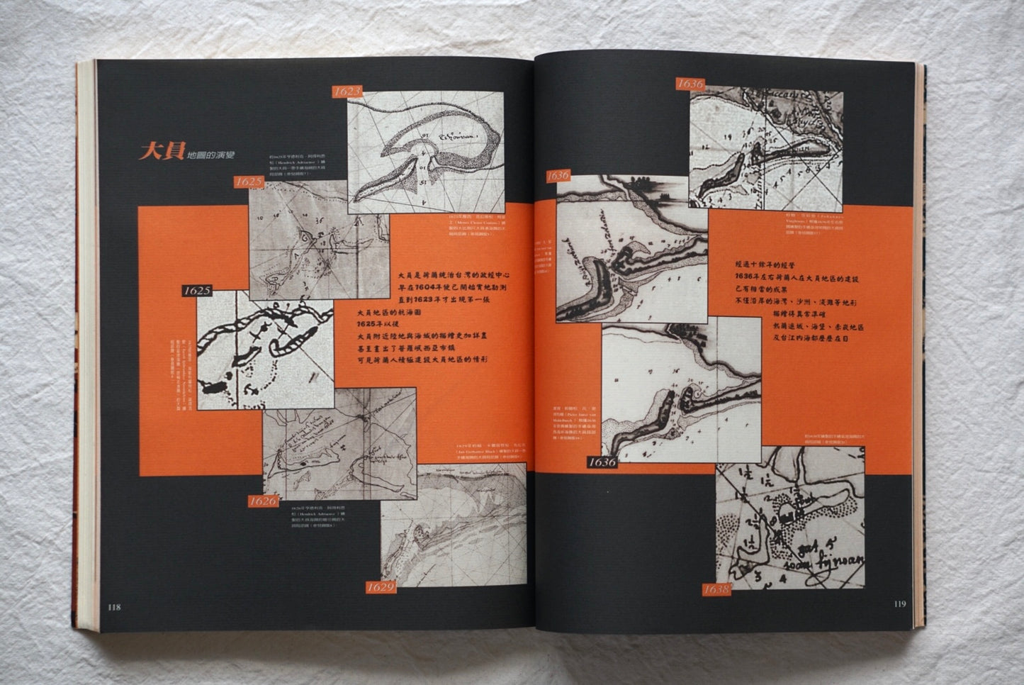
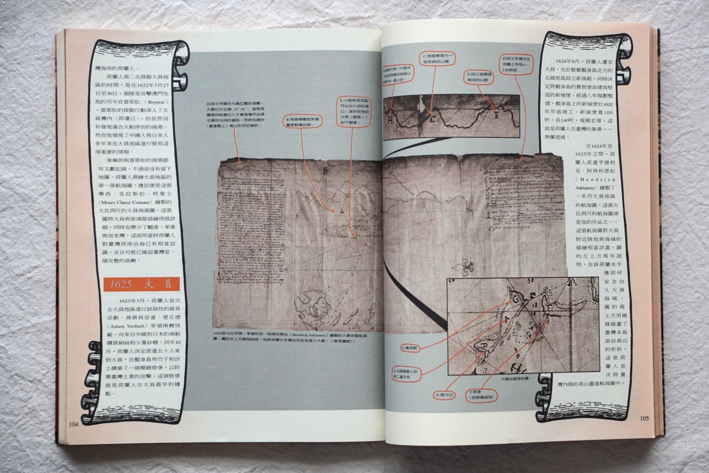
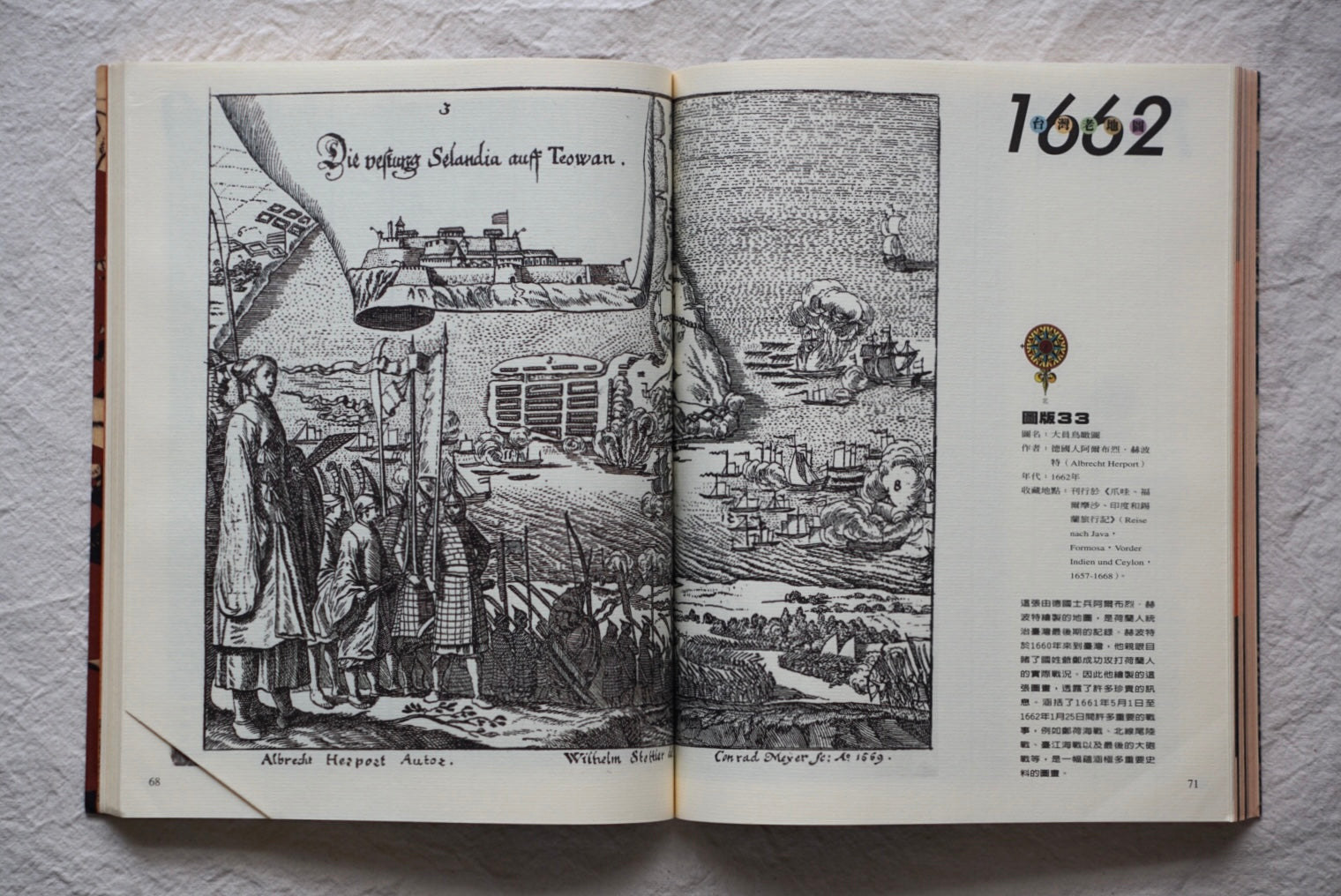
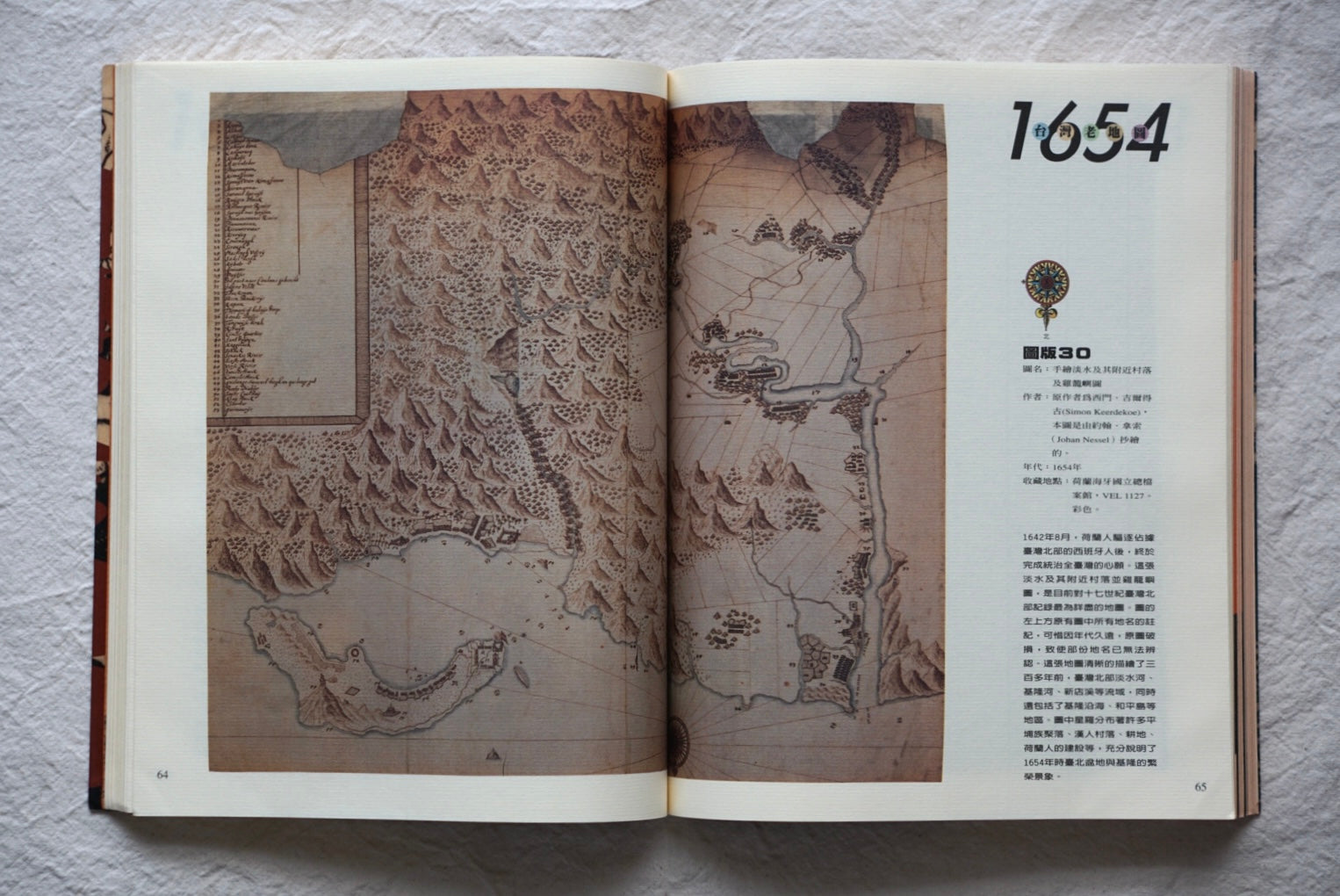
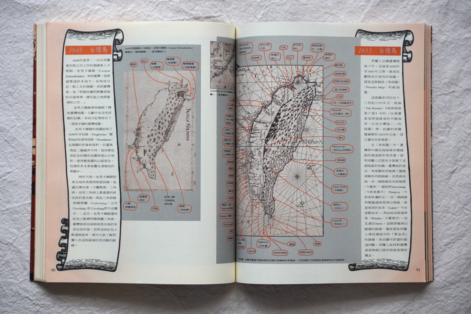
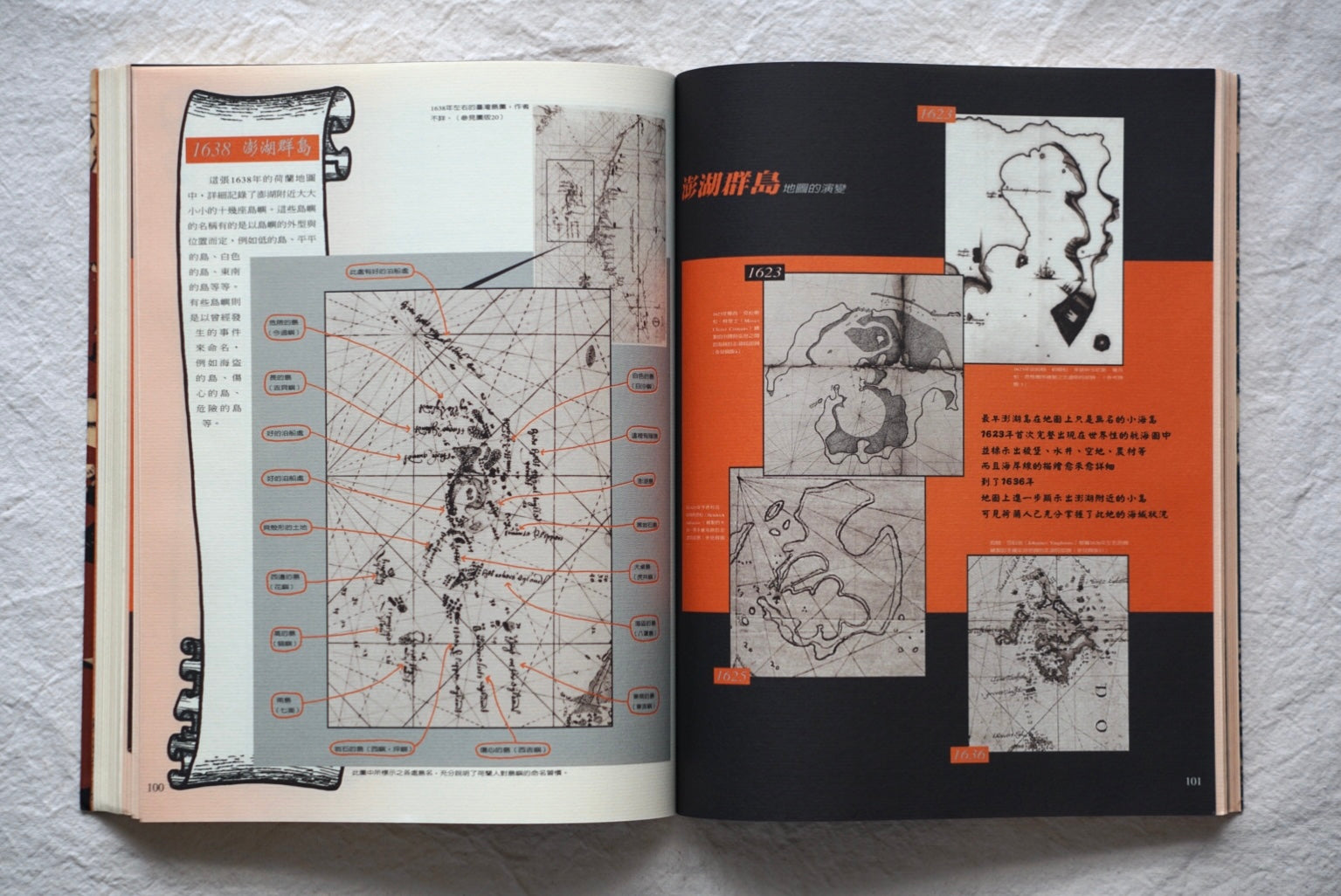
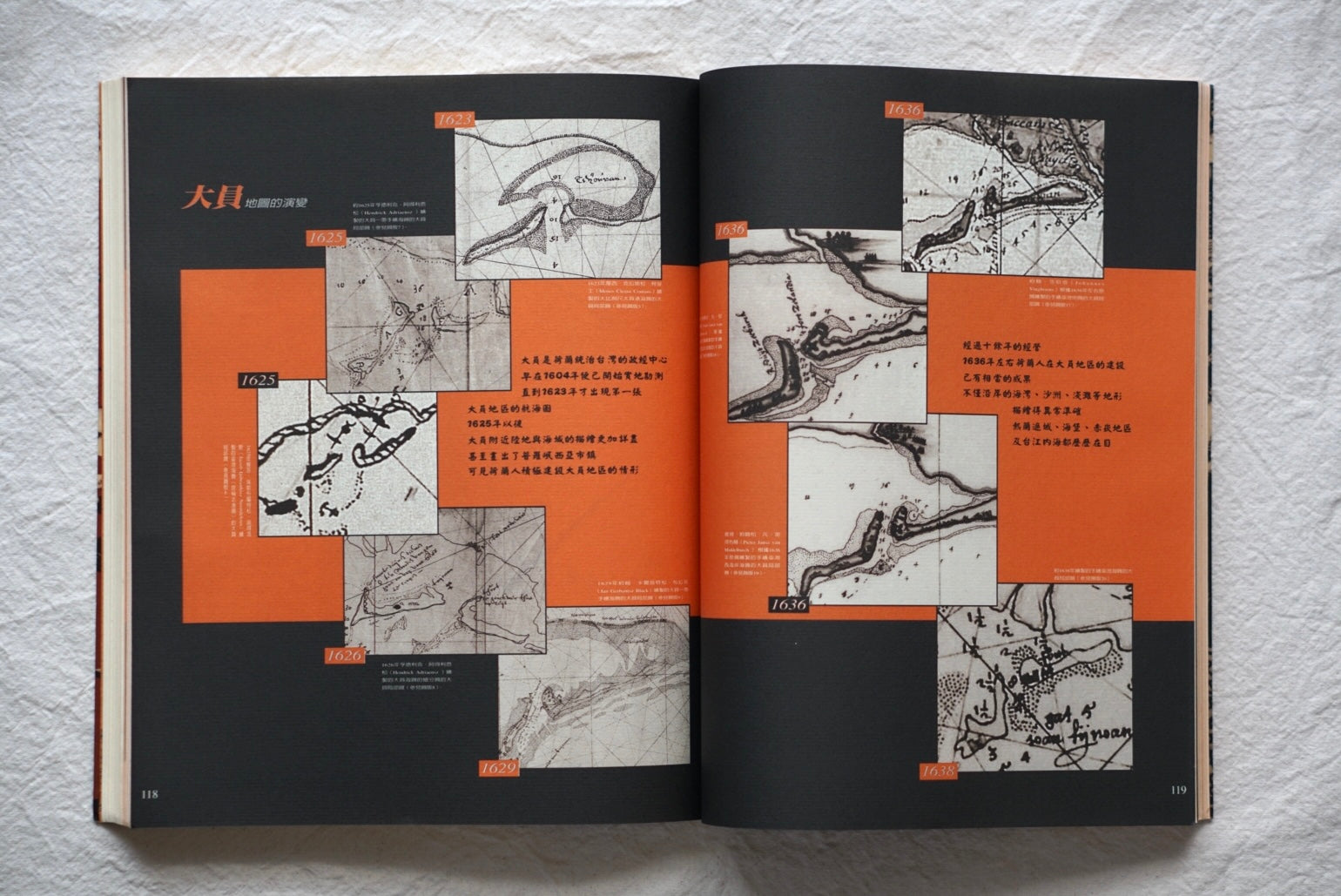
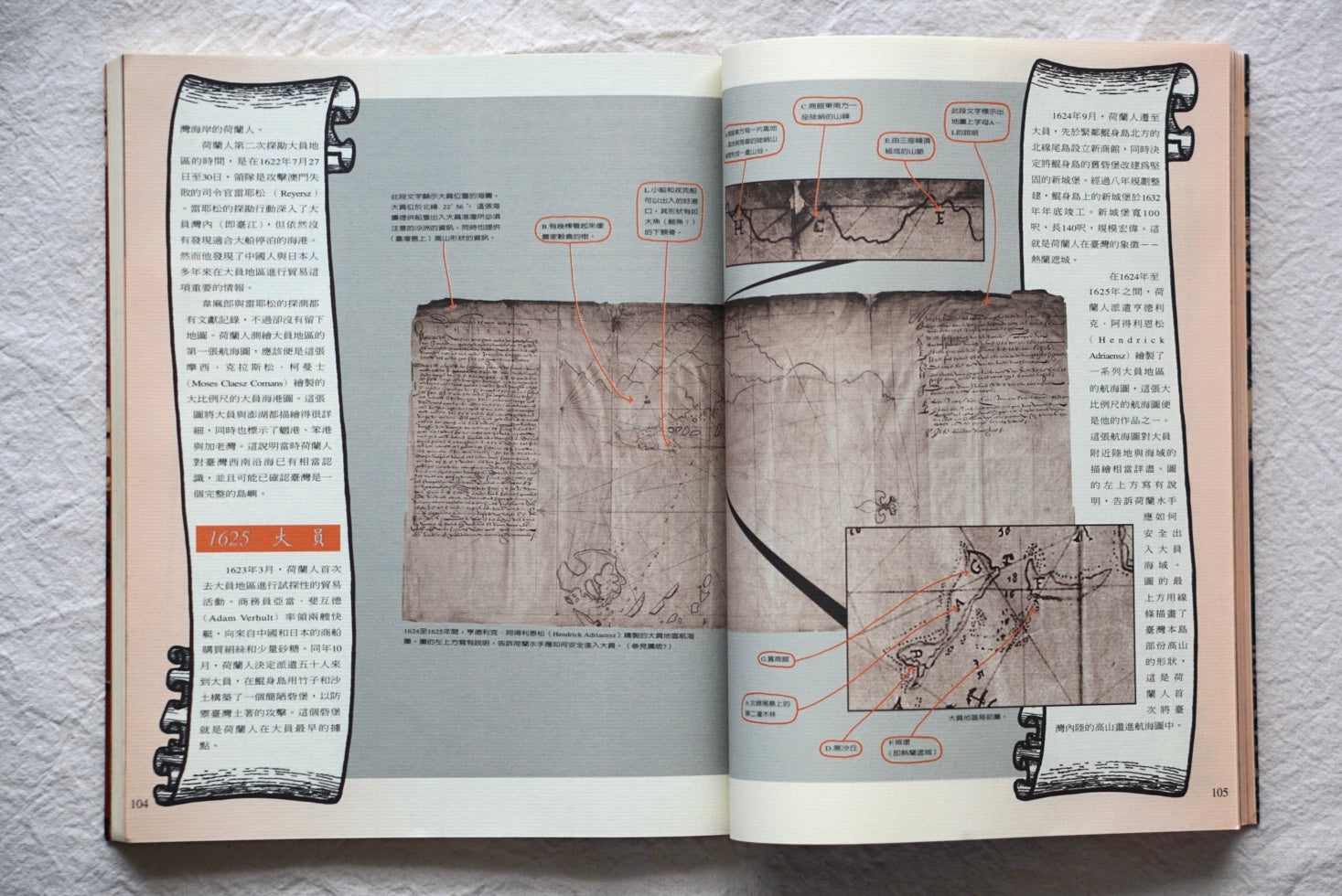
This two-volume set reproduces historical maps of Taiwan made by the Dutch during the 17th century. The maps document the island’s geography, urban layouts and coastal areas of the period, with commentary providing historical context. It is a useful reference for readers interested in Taiwan’s history, early geography and cartography during Dutch rule.
Publisher: Han Sheng Magazine
Publication year: 1997
Pages: 168 (volume 1) + 100 (volume 2)
Dimensions: 300 × 245 mm