小霧山 kokiriyama
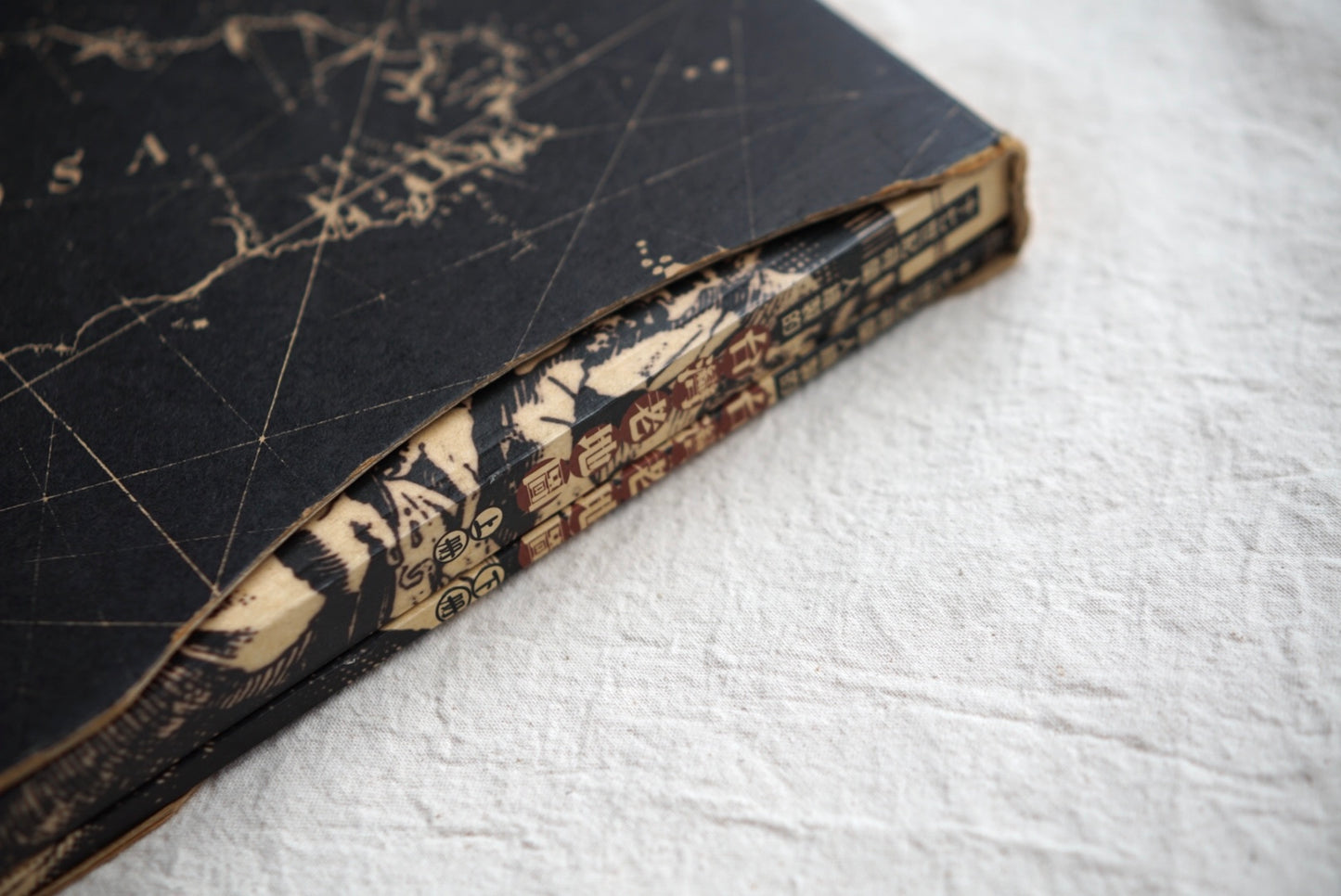
Old Maps of Taiwan Drawn by the Dutch in the 17th Century, 2 Volumes
Old Maps of Taiwan Drawn by the Dutch in the 17th Century, 2 Volumes
- 古書
Condition 古本 良品 B
Reference prices are estimates based on today’s exchange rate. All orders are charged in Japanese yen (JPY); the final amount depends on your card issuer’s rate and fees.
Sign up for our email newsletter and get a 10% OFF coupon!
Return Policy
Return Policy
For returns, please contact info@kokiriyama.com within 7 days of receiving your order.
See our full Return Policy for details.
Couldn't load pickup availability
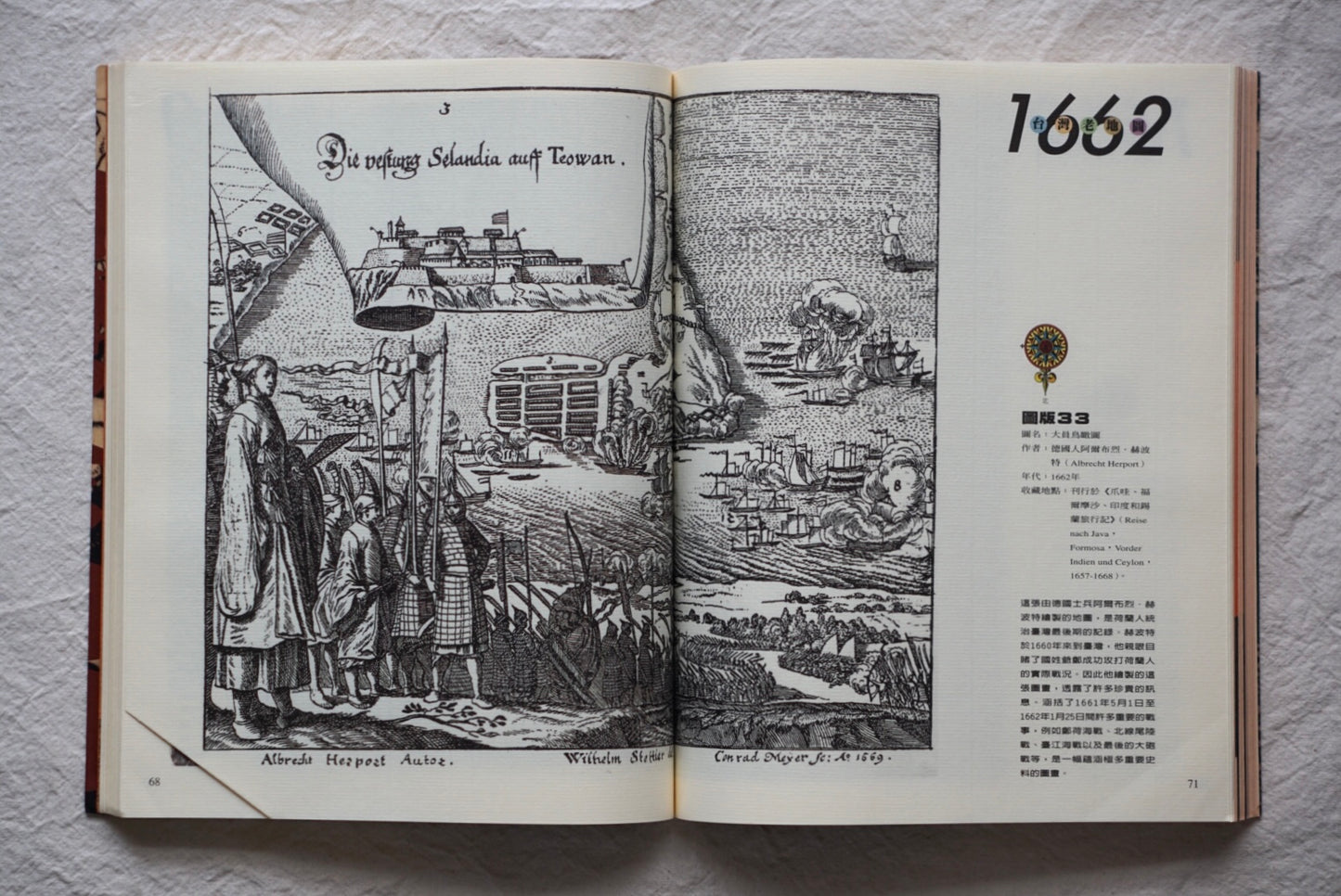
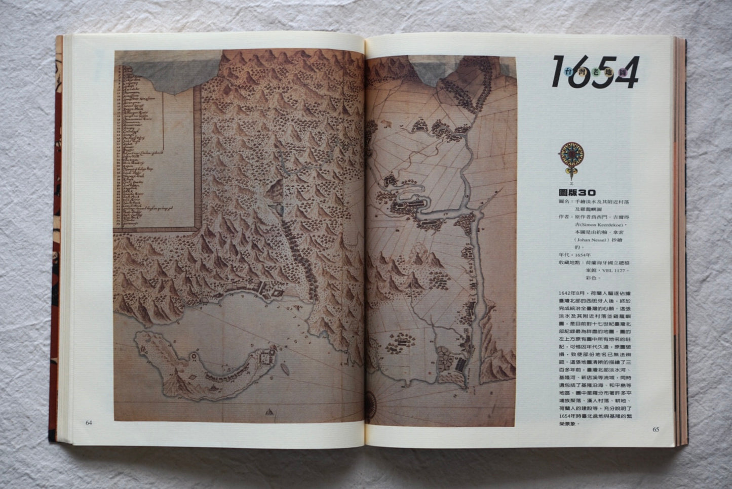
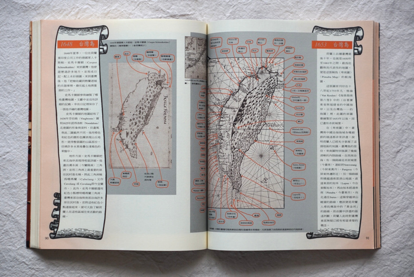
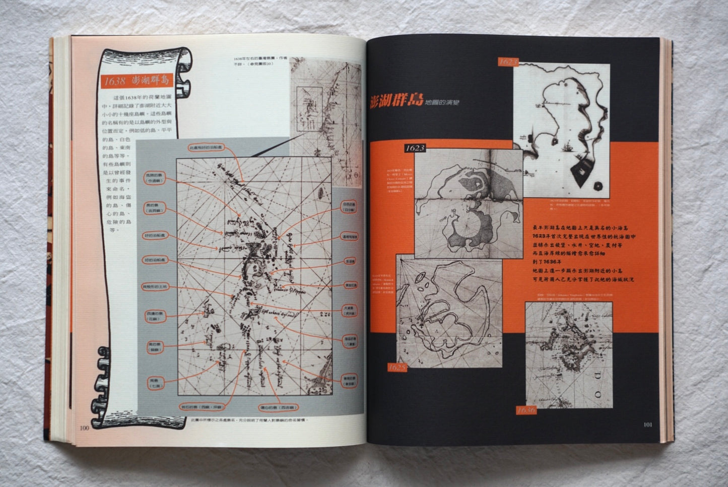
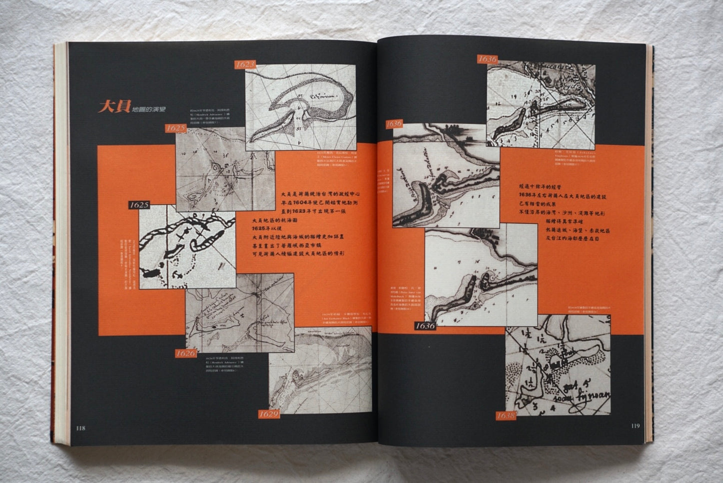
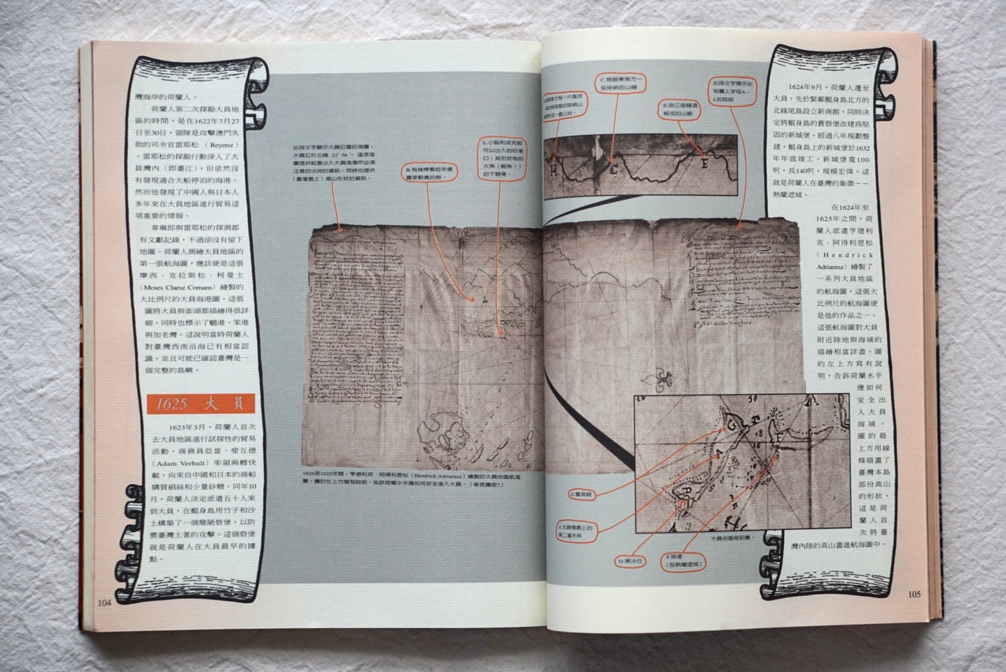
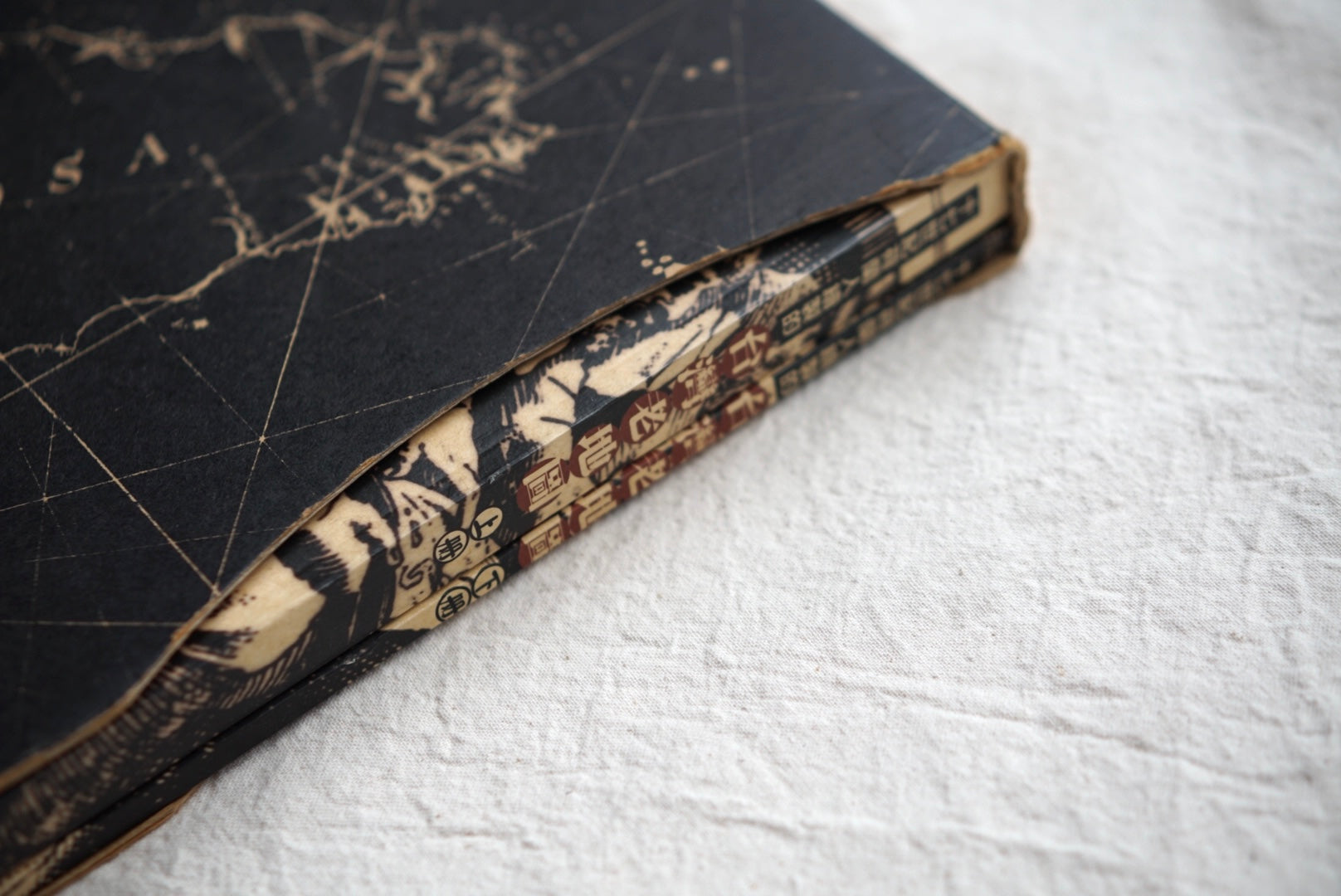
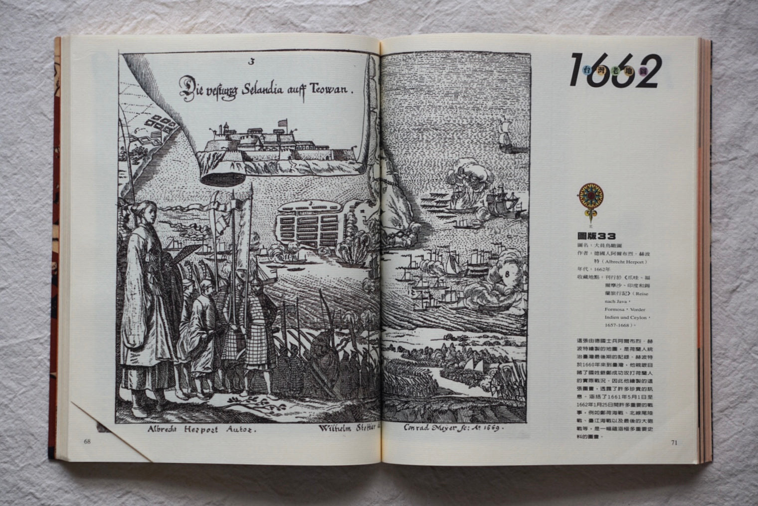
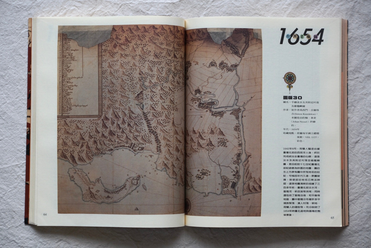
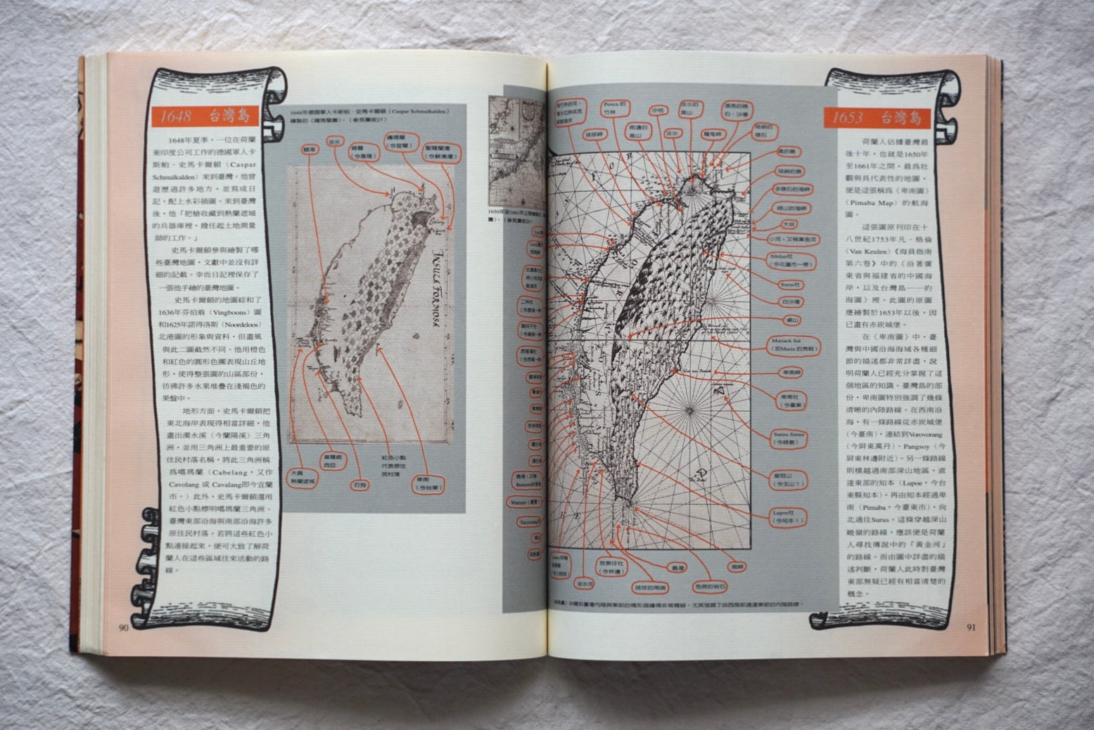
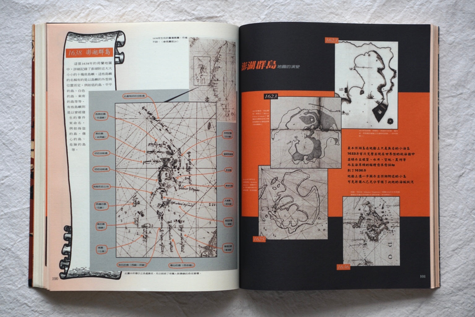
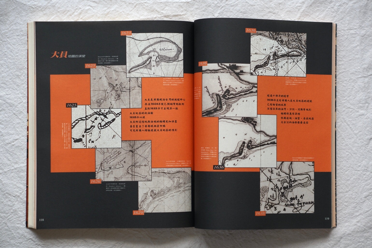
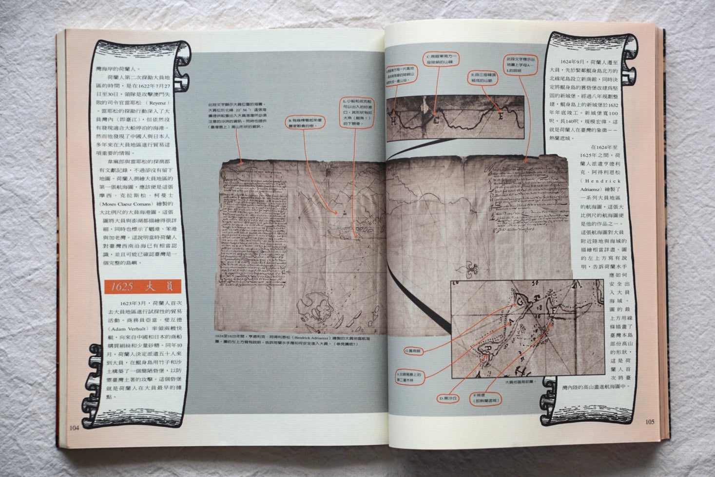
A two-volume book published by Echo Magazine (Han Sheng) in 1997, containing valuable maps made by the Dutch who ruled Taiwan in the 17th century. The maps describe in detail Taiwan's geography, urban structure and coastal areas at the time, and are accompanied by commentary on the historical background. A resource for understanding Taiwan's geographical environment and social conditions in the 17th century, and a valuable reference for readers interested in Taiwanese history and the cartography of the Dutch period.
Publisher: Echo Magazine (Han Sheng)
Pages: 168 + 100
Dimensions: 300 × 245 mm
Old Maps of Taiwan / Dutch Period / Cartography